Show buyers what could stand on that empty lot before they walk away
Photograph the vacant parcel. Makeover generates a photorealistic preview of a home, subdivision, or commercial pad sited on the actual land in under 10 seconds — not a generic rendering pasted onto a stock field.
Custom-built for your industry · No commitment
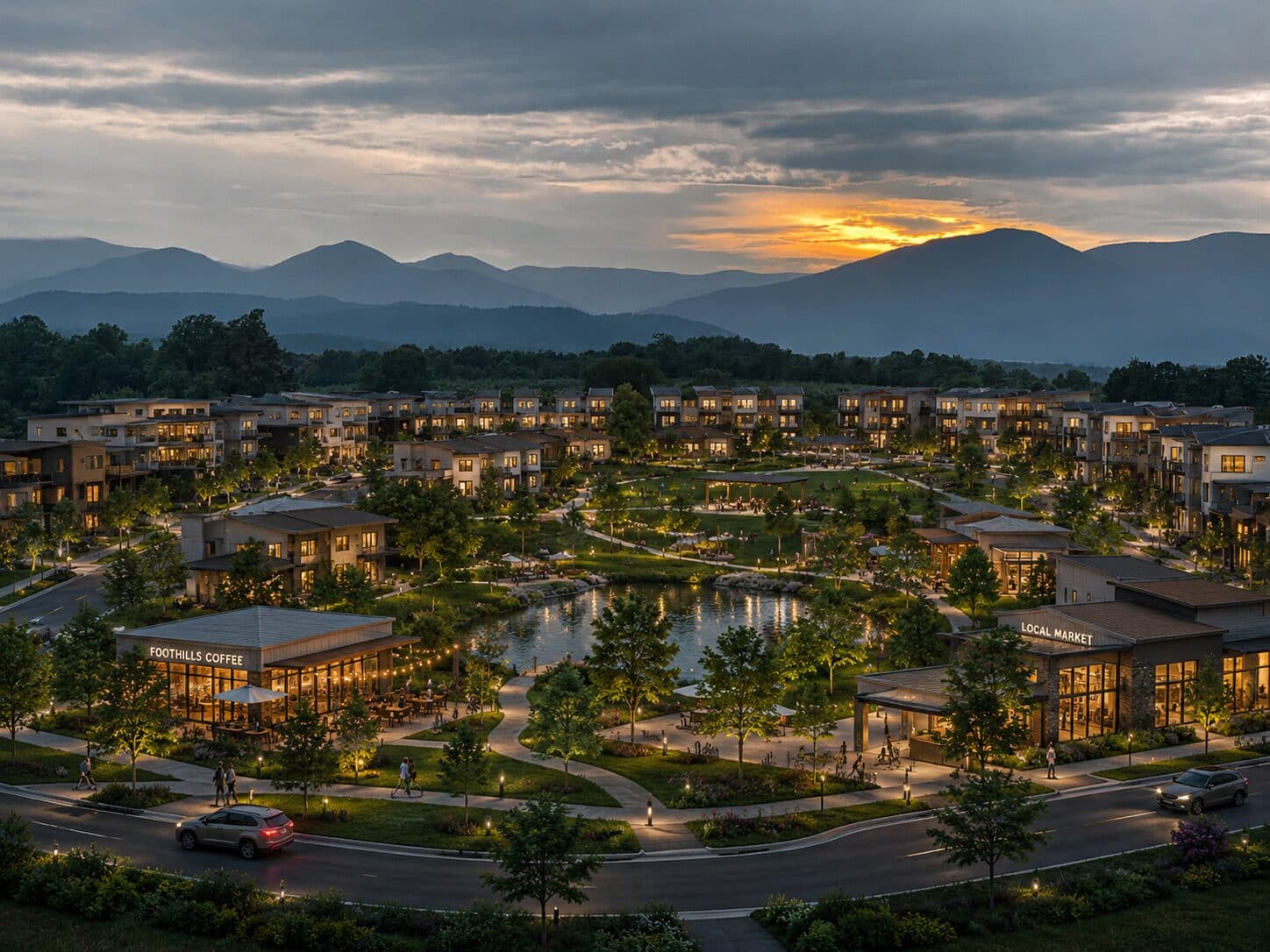
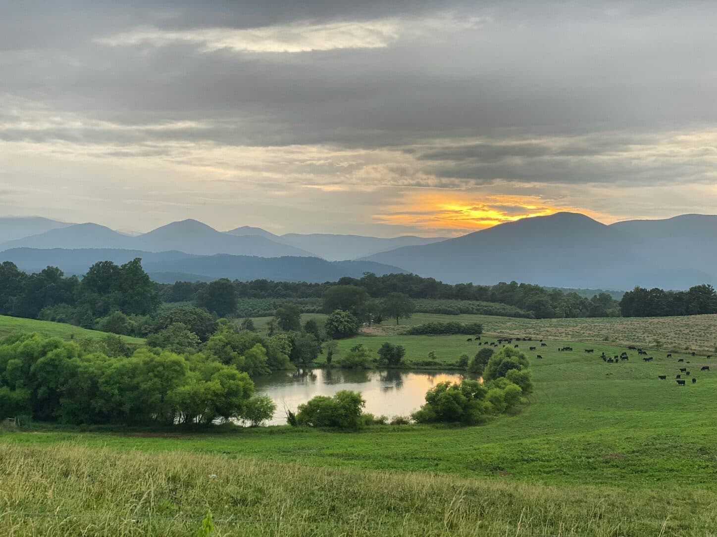
Drag the slider to compare
What is a vacant land development preview?
A vacant land development preview tool uses AI to generate a photorealistic image of what an undeveloped parcel would look like with a home, subdivision, or commercial building on it. The broker or developer photographs the actual land, and the tool renders the proposed structure, road network, or building pad directly onto that photo — respecting the parcel's real topography, tree line, and road frontage rather than dropping a generic rendering into a stock field. Land brokers and developers use it during site walks, investor pitches, and planning board presentations to turn an empty-lot photo into a buildable vision.
Why it matters
Vacant land is the hardest listing in real estate to sell on emotion — there's no kitchen to fall in love with, no primary suite to stage, only acreage and a survey pin. Raw land routinely sits on the market far longer than a comparable improved home, and financing compounds the problem: most lenders require a much larger down payment on undeveloped acreage than on a house, because there's no structure to secure the loan against. The buyer who eventually commits isn't buying dirt — they're buying whatever they can picture standing on it. A rendering that plants an actual home, road network, or building pad on their specific parcel is the difference between "nice view, I'll think about it" and a signed offer.
Who uses this
Rural and recreational land brokers — farm, ranch, and hunting-tract specialists — walking buyers across acreage with nothing but a plat map. Subdivision developers pitching raw tracts to equity partners and construction lenders who need to see the exit before they fund it. Custom home builders selling build-on-your-lot programs who need the client to commit to a homesite before committing to a floor plan. Commercial site selectors and pad-site brokers marketing corner parcels to retail and QSR tenants. Economic development offices marketing greenfield industrial sites to relocating employers.
Heard this from a land buyer?
Buyers walk the lot, see waist-high grass and a tree line, and say "I can't picture anything here" — you have a plat map and nothing else to counter it.
You hand them the surveyor's site plan with lot lines and setback dimensions. Their eyes glaze over — dimensions on paper don't read as a place to build a life.
Investors ask "show me what this looks like as forty finished lots," and all you have is a soil report and a spreadsheet pro forma.
How vacant land development previews work
Three steps. Under 10 seconds. No design skills needed.
Photograph the parcel
Walk the site and shoot the road frontage, the building envelope, the tree line. Any phone camera works — no drone survey or CAD file required to get started.
AI sites the development on the actual land
The model places the home, road network, or building pad onto the parcel's real topography, tree cover, and frontage — not a placeholder lot with different contours.
Present during the walk or the pitch
Their own dirt, developed. The conversation moves from "try to picture it" to reviewing a site plan they can already see.
Common questions about vacant land development
Straight answers. No jargon.
Let's build the version made for your business
Every preview on this site is a variation of the same engine, tuned to one industry. Tell us about yours, and we'll show you exactly what we'd build for it.
We reply within one business day